

Aerial Mapping & Inspection for Modern Construction
Hardhat Aerial Services delivers high-resolution maps, 3D models, and visual inspections so builders, surveyors, and engineers can see every inch of the jobsite without ever leaving the trailer.
How Our Projects Run
Step 1
— Define the Mission
First, we get everything clear: where the site starts/stops, what you need delivered, when you need it, and what software you’re using. We’ll confirm the coordinate system and units, take care of any airspace approvals if needed, and go over access and safety on site so there are no surprises.
Step 2
— Build the Capture Plan

Flight design + control plan based on your workflow.
We plan altitude/GSD, overlap, and coverage to match the deliverables you need. RTK is the default capture method. If your survey team is providing GCPs/check points, the mission and processing will incorporate that control.
Step 3
— Field Capture
Efficient on-site capture with a completeness check.
On flight day, we’ll coordinate access, execute the mission, and do a quick review of coverage/quality before leaving
Step 4
— QA/QC + Organized Delivery
Processed, checked, and packaged for drafting.
we’ll process the data, run QA checks, and deliver an organized folder set with consistent file naming and a short ReadMe (coordinate system, units, processing notes). If check points are provided, I can include a checkpoint comparison summary on request.
Construction
Drone-based 3D modeling that turns real-world structures into detailed, interactive models for planning, documentation, and presentations.
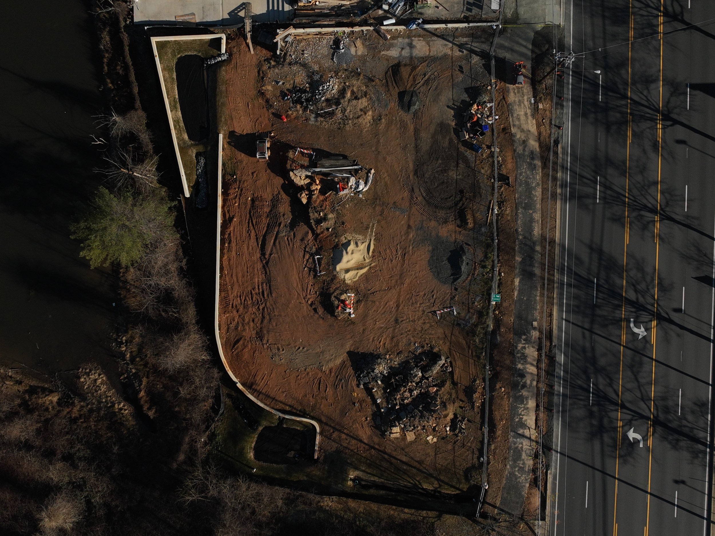
High-resolution topo map and contours generated from drone data to support cut/fill decisions, stockpile volumes, and site planning.
Stockpile and cut/fill volume measurements derived from 3D site data, giving project teams quick, visual quantity estimates.
Aerial Inspections
Safer, faster visuals for hard-to-reach areas.
Roof inspections for leaks, storm damage, and aging materials
HVAC & AC unit inspections on commercial and residential roofs
Building envelope & facade checks for cracks, settlement, and wear
Electrical line & equipment visuals (where permitted by regulations)
Close-up detail shots and video for maintenance reports and insurance documentation
Inspection of a high‑voltage power transmission structure
View of rooftop HVAC units for maintenance planning
