Contact Us
Connect with us to discuss your upcoming projects and formulate a Plan for you
msampah@flyhardhat.com
(202) 494-8491
Why Choose Hardhat?
We don’t just “fly a drone”—we deliver construction-ready data you can actually use. Our workflow is built around accuracy, clear communication, and clean handoff into CAD/GIS.
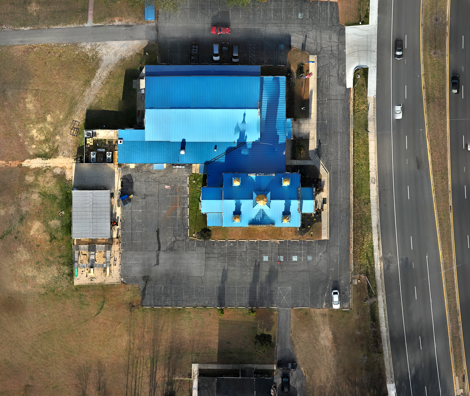
Jobsite-ready deliverables — orthomosaics, 3D models, surfaces, volumes, and progress documentation
Accuracy-first workflow — RTK/GCP options, QC checks, and deliverables aligned to your requirements
Fits your software stack — outputs for CAD/GIS (GeoTIFF, LAS/LAZ if applicable, DXF/DWG, LandXML, etc.)
Reliable, safe operations — FAA Part 107, insured, and site-safe procedures
Fast turnaround + clear scope — you’ll know exactly what you’re getting and when